Google Earth Alternatives
Google Earth: The Top 5 Alternatives.
Pretty much everyone who loves to travel around the world uses Google Earth. We will show you the top 5 alternatives to explore the earth via the world wide web. Google Earth is still the standart that everyone measures themselves against, but some newer alternatives are actually quite good.
Here is the list:
“Marble”, the free Google Earth alternative.
Open source software Marble offers a series of functions to explore precipitation and temperature maps, night views and satellite pictures as well as historical maps.
The free software enables you to view a weather forecast or use time and sun settings. Click on view > sun control to see the sun position. In order to use this function, choose the category “map view” within the setting “celestial body”.
The search window on the left-hand side helps you to easily look up locations around the world. Use your mouse wheel to zoom in and see more and more symbols. The symbols are explained in a table.
It is also possible to update Marble with new maps. Click on file > download maps and it will open a homepage on which you can download new maps.
Flash Earth.
Flash Earth extends Google Earth with six new aerial picture providers for you to compare.
The online service offers you map data of Microsoft, Yahoo and NASA. You can switch between the providers in order to view high resolution images.
However, if you want to use Flash Earth, you require Google Earth as well. The downloaded KML file can be integrated via the Google Earth menu. Simply click on “data” and then on the menu option “open”. You further have the opportunity to start the program in the browser. The best Browser Games on Free2Play!
Open Source Software – NASA World Wind.
The free NASA World Wind Software enables you to display satellite images and aerial photographs on a globe and use 3D graphics that can be looked at from all angles.
For the installation, you will need .NET-Framework 2. Additionally, there must be enough hard disk drive space as well as a good internet connection to load large datasets.
The free software helps you to explore other celestial bodies such as Jupiter, Mars, Venus and the moon as well. World Wind has access to the images of NASA satellites that offer images in high resolution. The date is automatically loaded by the NASA servers.
Locations in 3D: The Vizerra Software.
The free software Vizerra enables you to virtually visit locations and sights in 3D.
Explore the most beautiful locations of the world with just a few clicks: The Old Town district of Prague, Machu Piccu, the Taj Mahal and Rio de Janeiro -needless to say that more locations will be added in the future.
In addition to 3D images, the free software by National Geographic offers description texts, audio tours and maps.
Vizerra surpasses Google Earth with its 3D view. You will need a graphics card, a DSL connection and 1GB of free hard drive space, however, to take advantage of the much improved graphics.
Microsoft Bing Maps 3D.
With Bing Maps 3D, Bing establishes itself as a competitor to Microsofts “Google Earth”. However, its 3D views and satellite images are restricted to American cities.
Bing Maps 3D is free and offers you satellite images and aerial photographs in high definition. Zoom in on the 3D view or flip it. Maps can be viewed from the bird’s eye perspective as well.
You require a fast graphics card and internet connection in order to view the satellite imagery and make use of all its functions.
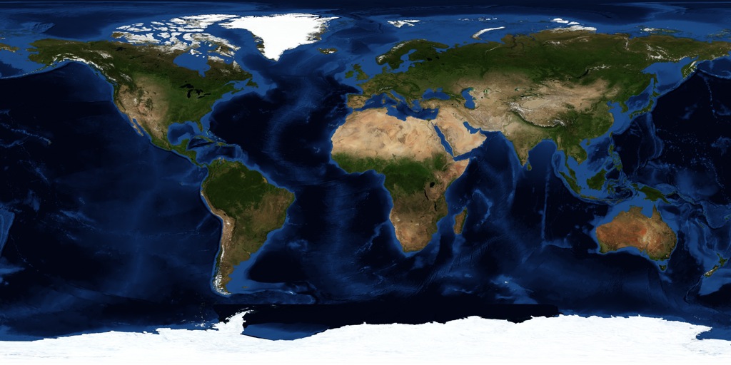
The world is getting smaller. This is a NASA satellite map of the Earth.
Remember, please avoid using proxys in order for the map function to work probably. If you cannot find the business or restaurant brand that you are looking for, then use the search function.
Use the Star Ratings system to rate brands/restaurants from 1 to 5 stars. The rating is an overall customer rating. Use the comment section to further detail your experiences.